LCD Table Map
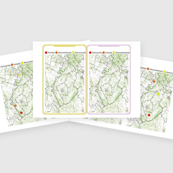
This educational material provides an efficient method for practicing the administrative divisions of the Czech Republic using LCD tablets. Students work with a base map inserted into the device, using a stylus to mark region locations, outline borders, or label areas according to a color-coded legend.
The ready-to-use worksheets minimize preparation time and allow for repeated use without excessive printing, as any mistakes can be instantly erased and corrected. Through this activity, students strengthen their spatial awareness and their ability to accurately identify administrative regions on a map. An example of a practical task involves students identifying and marking all regions adjacent to a specific administrative unit.
Loading generators...