Me on the Map
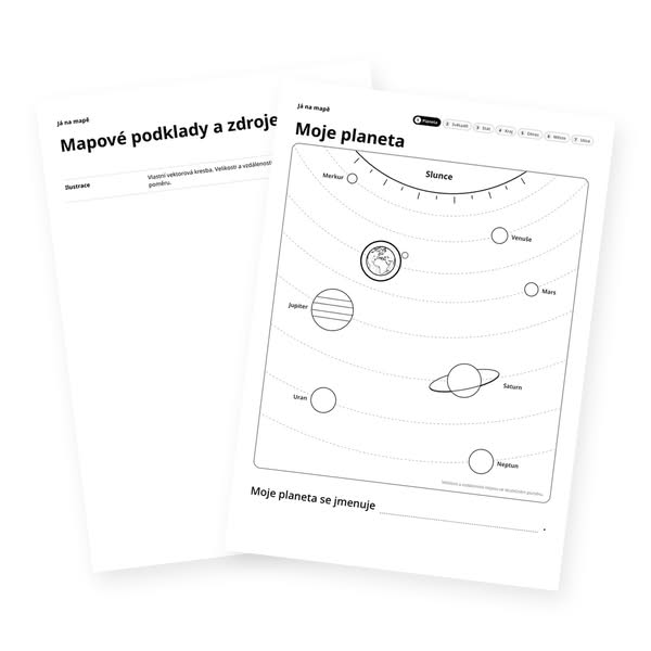
Seven maps from space down to home: planet, continent, country, region, district, town and street. Each page highlights “my” place in orange with a pin, with a sentence below such as “My country is called …”. The place name is not printed, so the child finds it and writes it in. Files cover all 156 districts of the Czech Republic and Slovakia in Czech, Slovak and English, and all 51 US states in English, in colour or black and white.
Print the pages and start with the planet. On each new map the highlighted place grows into the whole map, so it is easy to see that a town lies in a district, the district in a region and the region in a country. At the end the pages are stapled into a small book.
Suited to grades 1 to 3 when children learn about where they live.