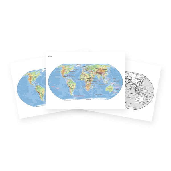
Printable Map – Colour, Black and White and Blank
Printable vector maps for geography lessons: the world, continents, regions (Alps, Mediterranean, Scandinavia…), EU member states, large countries of the world, Czechia, Slovakia and all their regions. Every sheet has four pages with the same map: a colour map with names, a blank colour map, a black-and-white map with names and a blank black-and-white map.
Colour maps show elevation tints, shaded relief, rivers, lakes, borders and settlements; regional maps also forests, roads and railways. Black-and-white maps use black only with high contrast, so they copy and colour well. Names follow the language of the site.
Choose the area and the paper size (A4, A3, A2). The page orientation follows the shape of the area, north is always up.
Loading generators...